Ekologo-rybokhozi︠a︡ĭstvennoe kartografirovanie akvatoriĭ Barent︠s︡eva i Belogo moreĭ: teoreticheskie osnovy i metodicheskie podkhody
Année de publication
2002
Circulation
100 exemplaires
$28,00
Ajouter à

Ajouter à

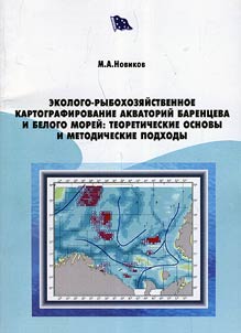
This work includes thematically specialized maps of the Barents and White seas, accompanied by detailed commentaries. Digital thematic maps are created according to the principles of raster model of geographic informational system. For the first time on the example of the Barents Sea the methodology of synthetic assessment of mapping of marine areas is presented. Estimated classification of waters is based on the base of digital map data accumulated in a series of thematic maps. A separate section is devoted to the methods of Multidimensional statistical analysis of spatially distributed data.