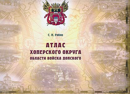
Atlas Khoperskogo okruga Oblasti voĭska Donskogo
Année de publication
2024
Illustration et cartes
color illustrations; maps
Circulation
3000 exemplaires
$35,00
Frais de livraison:
$16,00
Ajouter à

Ajouter à

Based on historical cartographic materials from the 19th to the early 20th century, the book presents detailed descriptions of Cossack village territories (stanitsa yurts) and maps illustrating their size, location, and settlement patterns along the main rivers of the region — the Khopyor and Buzuluk. It explores the development of the khutor (farmstead) settlement system and provides information on the location of churches, educational and medical institutions, and fairs. Maps and descriptions of military, proprietary, and volost (district) lands are also included.