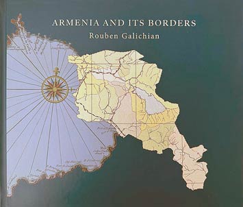
Armenia and its borders
Geographical, Cartographical and Historical Changes in the Situation
Année de publication
2024
Illustration et cartes
maps
$115,00
Frais de livraison:
$127,00
Ajouter à

Ajouter à

Through the use of simple and easily accessible language and images, this book is targeting the general public interested in the borders of Armenia. It aims to explain the periodic changes in the borders of Armenia and the main reasons for these changes. The volume presents a small, especially chosen, collection of important ancient and medieval maps made by non-Armenians. The maps presented in the latter parts of the book have been prepared during and after the establishment of the first independent Republic of Armenia in 1918, as well as during the Soviet and the later, independent periods. The books aim to explain how the borders of the first and later republics of Armenia were often changed unilaterally and, in some cases, illegally, expropriating Armenian lands and allocating them to our neighbors, all done to appease the authorities of Azerbaijan and later Turkey.